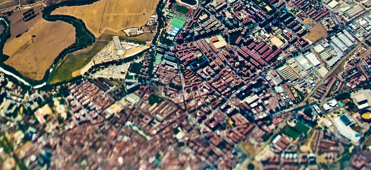
We proceed to every infrastructures networks’ survey and registration, carrying out projects with great accuracy and detail by complementing classical topography with new technologies like GPS.
Our skilled professionals work with the most innovative Survey and Topography techniques for planning and construction works execution.
We prepare planimetric surveys, topographical levelings, and calculation of volumes, photogrammetry, and excavation of engineering works, and use the most advanced current technologies to geo-referenciation plants compilation.
Besides, we carry out the inspection and verification of the conservation status of all types of underground infrastructure, proceeding to its detailed mapping, from water and sewage pipelines to electricity networks.
We also proceed to the analysis of pathologies, presenting responsible and sustainable fixing solutions and defining future maintenance plans, executing as well infrastructures cleaning works.

